
Fly · Map the Field
Map 2,000+ acres a day — autonomously.
You fly. The drone maps the field from above — a stable, top-down view, with no sensor exposed to dust, mud, or impact. Here is exactly how the workflow runs, start to finish.
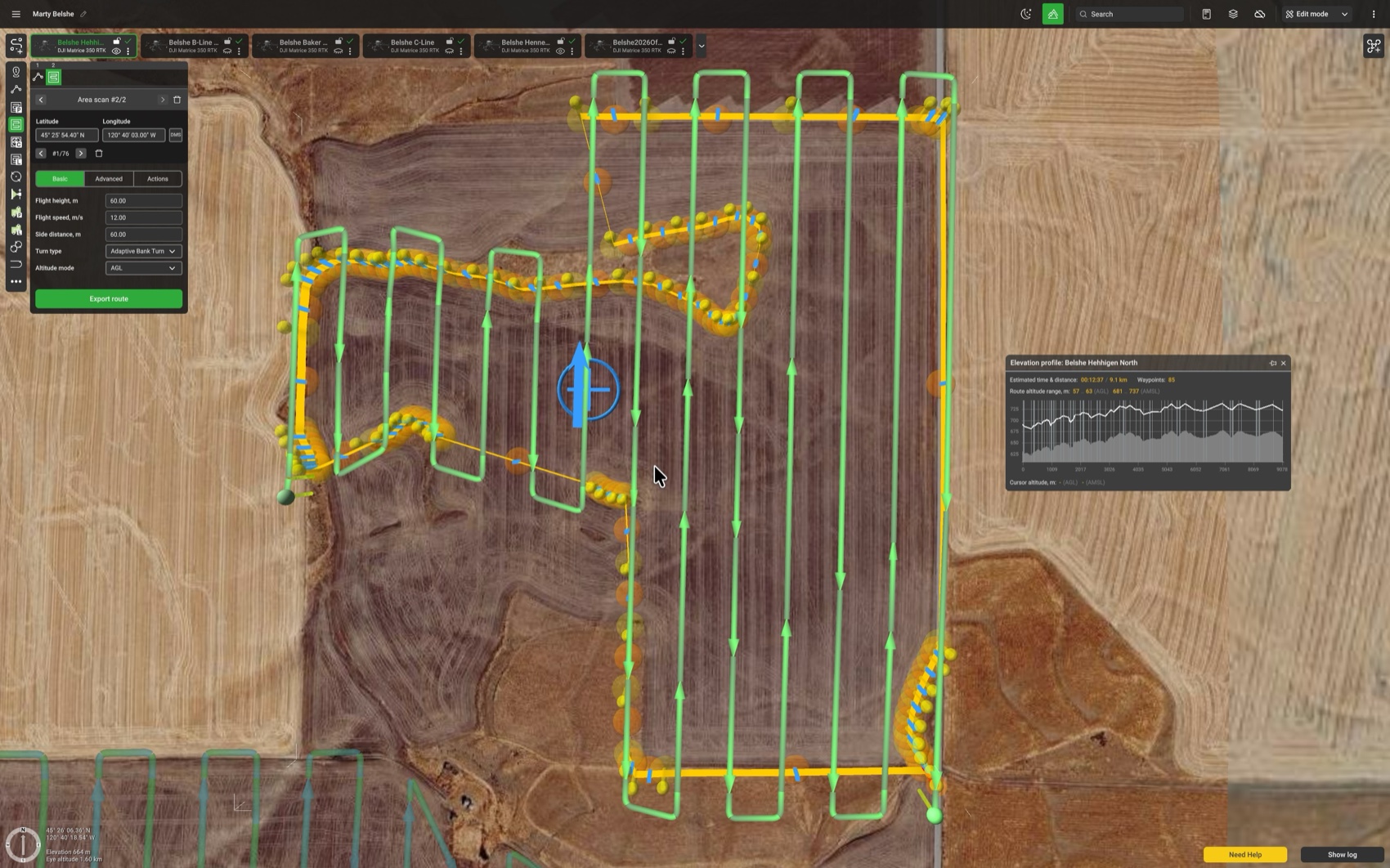
Autonomous mission planning
Draw the perimeter of the field you plan to map right in the drone flight-control software. Create no-fly zones, and don’t worry about irregular shapes — they’re no problem.
The software automatically builds the flight path, and you’ll see flight distances and estimated flight times before you ever leave the truck.
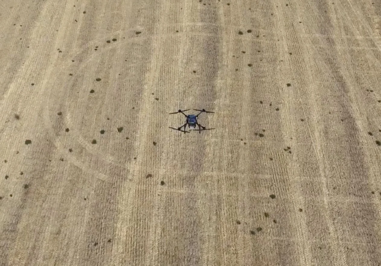
Easily cover 2,000+ acres a day
Upload the flight plan to the drone and press Start to launch the mission. Change batteries about every 40 minutes and cover roughly 800 acres an hour.
The drone holds about 225 feet above the field, maps at around 30 mph, and handles wind speeds of more than 20 mph.
- ~800 acres per hour
- 225 ft mapping altitude
- Handles 20+ mph winds
- ~40 minutes per battery
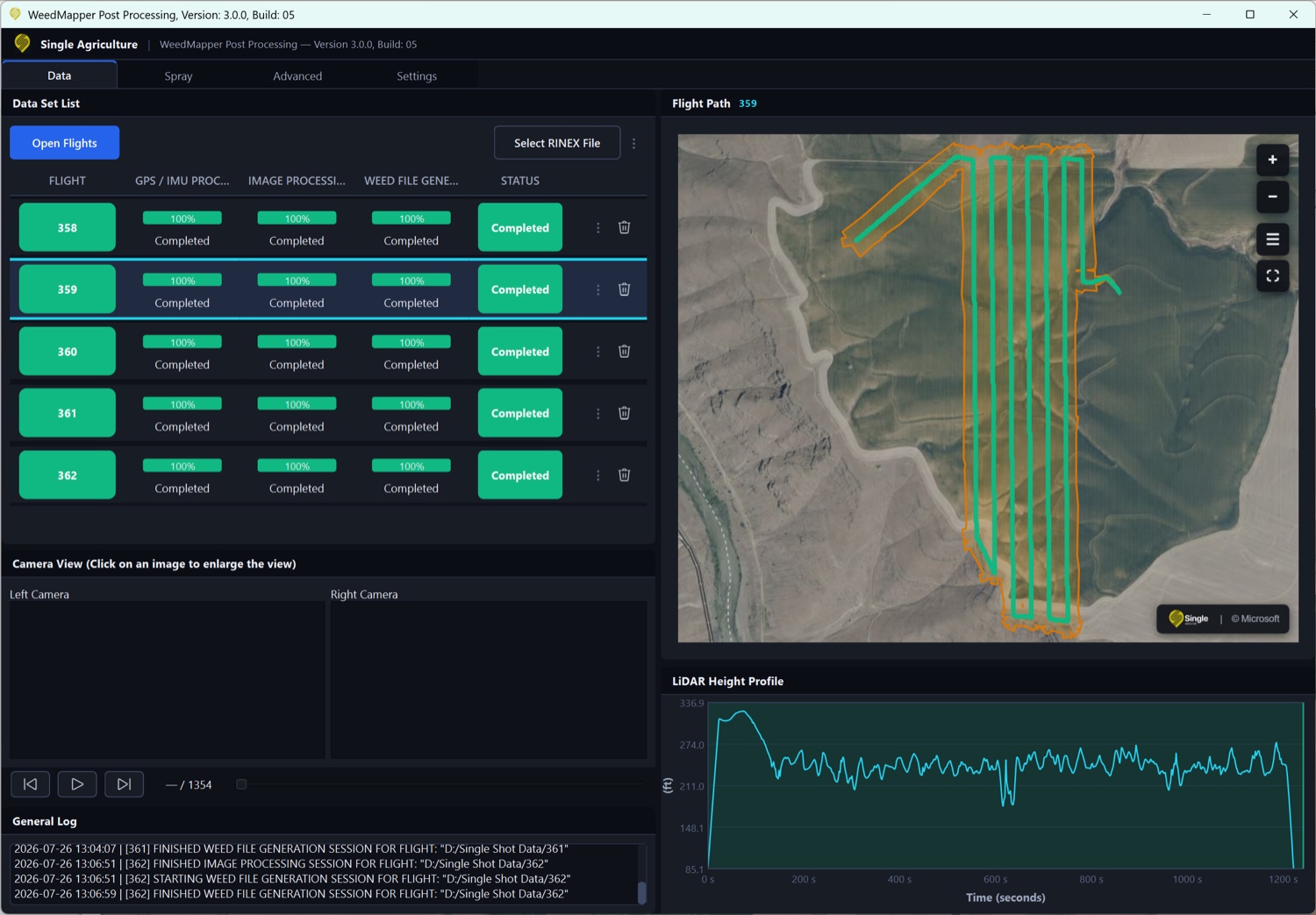
Process it on the laptop, the same day
Your imagery never leaves the laptop. Process every flight right there in the included WeedMapper software — no huge image uploads to the cloud. (Only a small GPS-correction file is sent off for kinematic processing.) Go from “flight” to “flash drive” the same day.
Here you also target weeds by size, adjust the spray buffer, and calculate exactly how much chemical you’ll use — with adjustments for the number of sections in your spray boom.